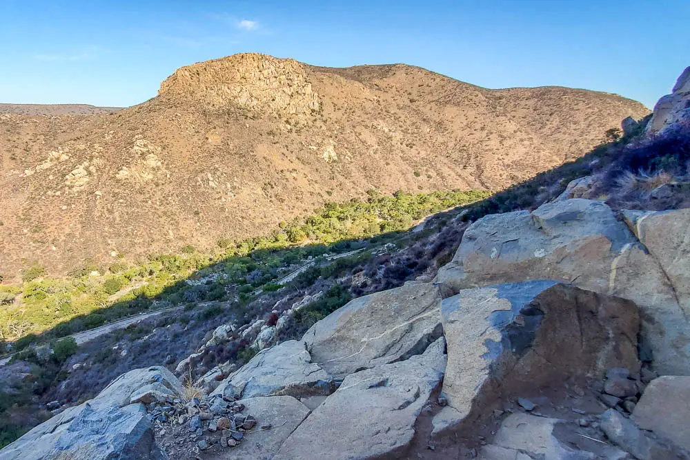

The Climber’s Loop Trail in Mission Trails Regional Park is a one-mile loop that climbs steeply from the main Mission Gorge road up to a popular rock climbing area then loops back down to the road. The rugged one-mile loop offers great views and some fun scrambling near the cliffs.
There are two trailheads for Climbers Loop, known respectively as North (G PS: 32.827044, -117.052213) and South (GPS: 32.824145, -117.053470) Trailhead. Both are located on Father Junipero Serra Trail, a paved road that travels one way through Mission Gorge, and are less than a quarter-mile apart.
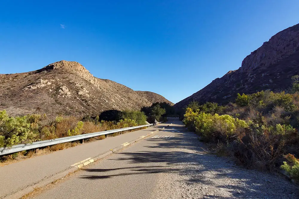
The entrance of Father Junipero Serra Trail is located off Mission Gorge Road (GPS: 32.818222, -117.056040) in the San Diego neighborhood of San Carlos, about 2.75 miles north of Interstate 8.

The trailheads are located a mile or so past the park visitor’s center, which offers an online map that will help you find the loop. The first one you come to is the South Climber’s Loop Trailhead.
There’s limited roadside parking at the trailhead, so consider parking at the visitor’s center on busy weekends. You can start at either trailhead. Both have kiosks with information about the park and the trail.
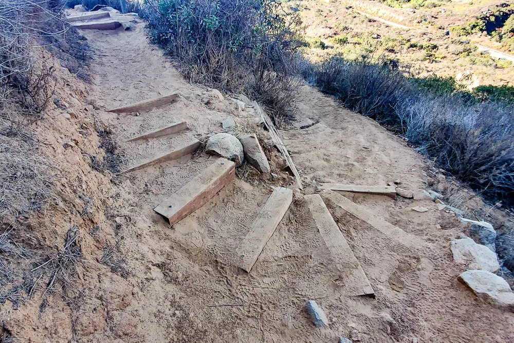
The trail along the cliffs is fairly technical in places, requiring hikers to pick their way up and down rocky slopes. Take your time through this section, as parts of the trail have steep drops on the side in places and a fall could lead to serious injury.

I wouldn’t recommend bringing young children on this trail, due to the technical nature of the upper portion near the cliffs.
Another reason to dawdle here is the terrific views of the gorge and surrounding landscape. Fortuna Mountain with its rugged cliffs stands across the gorge to the west from the apex of the trail.
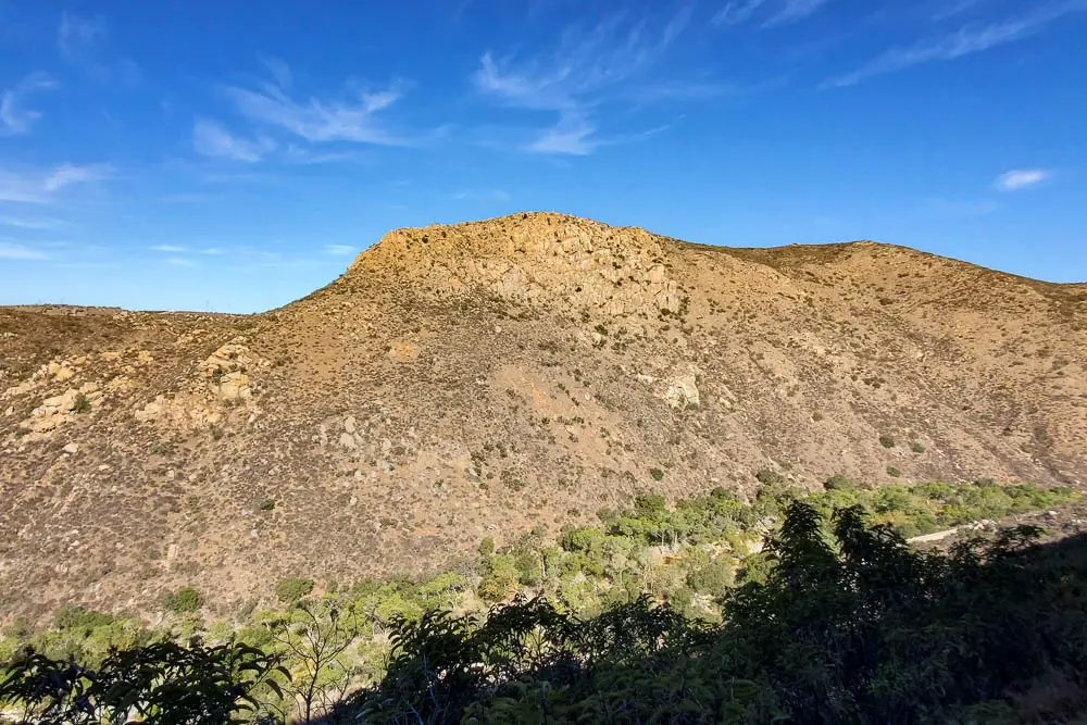
After spending some time at the top, it’s time to head back to the gorge road. Once you reach the bottom of the gorge, you can follow the road back to your car.
On hot days, morning is the best time to tackle this trail. The sun doesn’t strike the east side of the gorge until later in the morning, so much of the trail remains in shadow in the early hours. Morning is also when you’ll most likely see climbers making their way up the cliffs.
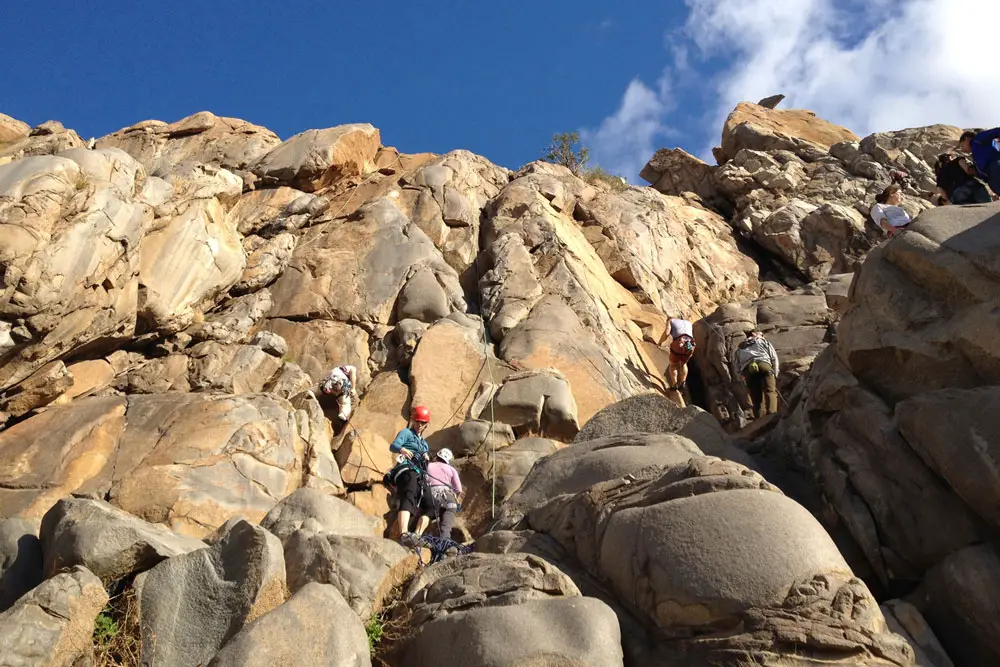
If you’re just hiking, mind the climbers. Those on the ground have someone’s life in their hands. Those in the air can knock rocks loose. Rocks are hard.
If you’re looking to climb here, there’s more info on the crag available from Mountain Project and the Allied Climbers of San Diego.
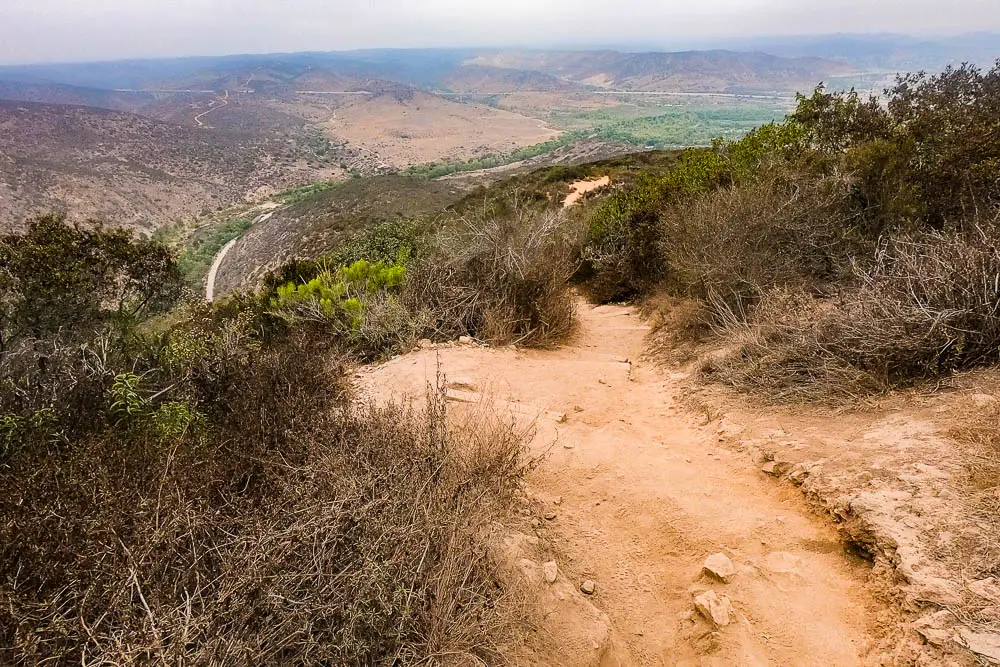
This steep 2.5-mile out-and-back route climbs 885 feet from Mission Gorge to the 1,194-foot summit of Kwaay Paay Peak.
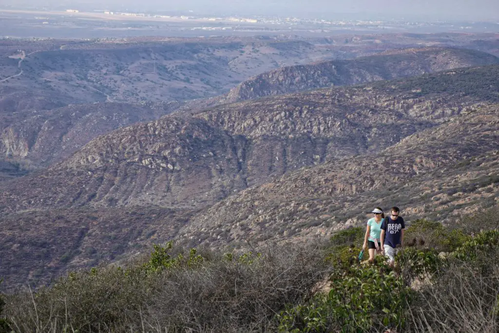
The summit of Cowles Mountain, the highest point in the City of San Diego at 1,591, offers terrific 360-degree views of San Diego.
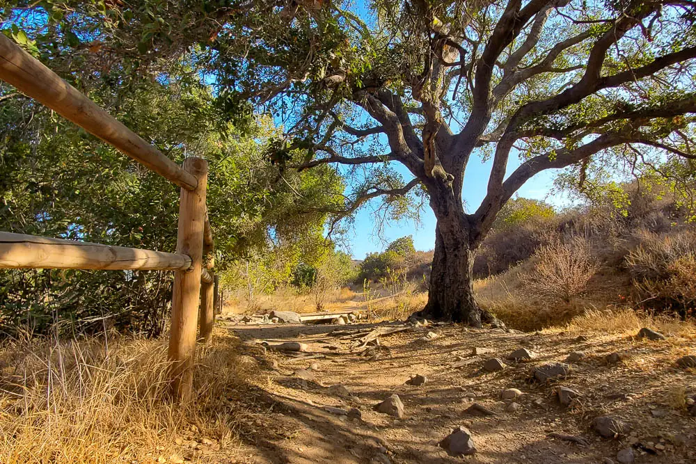
This is one of the most diverse hikes in the park, offering a satisfying mix of historical landmarks and natural beauty.
Located about 8-miles northeast of downtown San Diego, Mission Trails Regional Park encompasses more than 8,000 acres of mountainous open space that is popular among hikers, mountain bikers, and rock climbers.
The San Diego River flows through Mission Gorge, offering a rare year-round source of flowing water in this arid landscape. Despite being surrounded by suburban neighborhoods, the park’s coastal sage, chaparral, and riparian ecosystems are home to numerous animals, including bobcats, coyotes, deer, and many native lizard and bird species.
The visitor’s center, located at the western end of the gorge, offers great information on the park’s human and natural history.
Chris Emery is an outdoor adventure junkie who lives in San Diego, California. He is the editor of OutdoorSoCal.com, the guide to the Southern California outdoors.